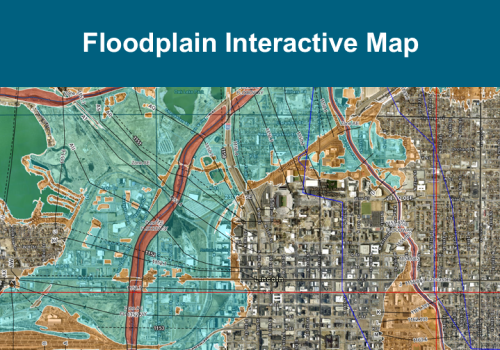
Floodplain Interactive Map
Use this map to view FEMA's digital flood hazard data and community information relating
to floodplain management.
Nebraska Real-time Flood Forecasting (NeRFF)
Use this map to view additional flood hazard information including current and forecasted stage heights, flood inundation boundaries, current weather alerts and radar, and much more.
